Seen from outside
 Kiribati
How the world sees this country this week: the news abroad, pictures and videos.
Kiribati · The week of 7 Nov to 13 Nov
Seen from outside
Kiribati, officially the Republic of Kiribati, is an archipelagic country spanning the Micronesia and Polynesia sub-regions of Oceania in the central Pacific Ocean. The state comprises 32 atolls and other islands and one remote raised coral island, Banaba. Its total land area is 811 km2 (313 sq mi) dispersed over 3,441,810 km2 (1,328,890 sq mi) of ocean. The spread of the country's islands, from Banaba in the west to Kiritimati in the east, straddles the equator and the 180th meridian. The International Date Line goes around Kiribati and swings far to the east, almost reaching 150°W.
Pictures
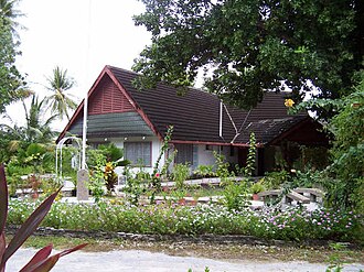
The Presidential residence, former Government House, BairikiJopolopy · CC BY 3.0 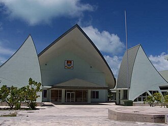
Maneaba ni Maungatabu, House of Assembly, 2000Jopolopy · CC BY 3.0 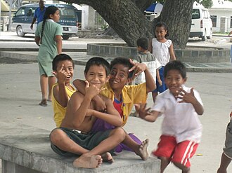
I-Kiribati children in South TarawaPhoto taken by Government of Kiribati employee in the course of their work · CC BY 3.0 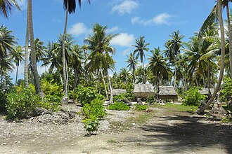
Village in KiribatiErin Magee/DFAT · CC BY 2.0 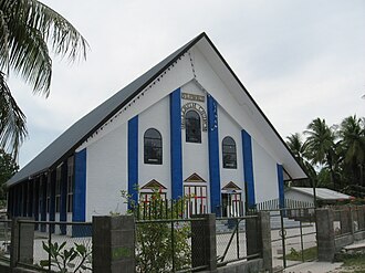
Catholic Church in BetioVladimir Lysenko (I.) · CC BY-SA 4.0 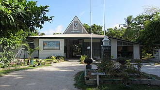
The University of the South Pacific, Kiribati CampusFlexmaen · CC BY-SA 4.0


Photos from Wikipedia’s articles, on Wikimedia Commons
On YouTube
- Climate Week Spotlight: Water access in KiribatiDoctors Without Borders / MSF-USA
- 41 Days Lost at Sea: The Teenager Found Alone 2,000 Kilometres From HomeDrift Theory
- BREAKING: Five Rescued in Kiribati After Nearly Three Months Adrift #ShortsNeon Bulletin