Seen from outside
 Faroe Islands
How the world sees this country this week: the news abroad, pictures and videos.
Faroe Islands · The week of 7 Nov to 13 Nov
Seen from outside
The Faroe Islands ( FAIR-oh), also known as the Faroes, are an archipelago in the North Atlantic Ocean and a rigsdel ('autonomous territory') of the Kingdom of Denmark. Located between Iceland, Norway, and the Hebrides and Shetland isles of Scotland, the islands have a population of 55,466 as of July 2026 and a land area of 1,393 km2 (538 sq mi). The official language is Faroese, which is partially mutually intelligible with Icelandic. The terrain is rugged, dominated by fjords and cliffs with sparse vegetation and few trees.
Pictures
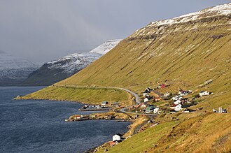
The village of Skipanes on Eysturoy, with murkier weather in the distanceVincent van Zeijst · CC BY-SA 3.0 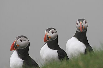
Atlantic puffins are very common and a part of the local cuisine: Faroese puffin.Henning Allmers , hallmers@uos.de · CC BY-SA 3.0 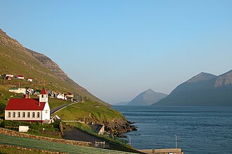
Church on the island of KunoyErik Christensen , Porkeri ( Contact at the Danish Wikipedia ) · CC BY-SA 3.0 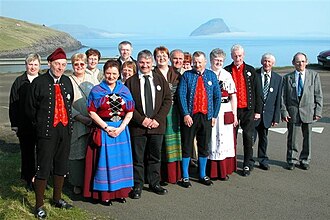
Faroese folk dancers, some of them in national costumeErik Christensen · CC BY-SA 3.0 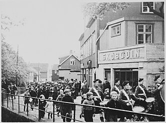
British troops arrive in Tórshavn, 1940Nordisk Pressefoto · Public domain 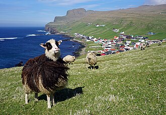
Faroe sheep with the town of Sumba in the backgroundkallerna · CC BY-SA 4.0


Photos from Wikipedia’s articles, on Wikimedia Commons